Written by Zach Osmek
After paddling 180 miles along the Minnesota-Canada border and portaging over 8 miles through the woods to Lake Superior, it was time for us to switch gears and load up our backpacks. Our next adventure: a thru-hike of the Superior Hiking Trail. Over the next three weeks, we would walk 320 miles from the Minnesota-Canada border along the shores and overhanging cliffs of the largest freshwater lake in the world, Lake Superior, all the way to the Minnesota-Wisconsin border south of Duluth.

We got dropped off a mile and a half from the northern terminus of the SHT just two days after completing the historic Grand Portage and finishing Leg 1 of our trip. Our bodies were not fully recovered. I had just lost a toenail from walking the historic 8.5 mile Grand Portage with our canoes and 100+ pounds of gear, and my ankle was still swollen from wading our canoe through rapids on the Pigeon River. Nonetheless, our spirits were high, and we were excited to start heading south.

We had spent a large amount of time beforehand making sure our gear was dialed in. When you have to carry everything on your back for weeks on end, every ounce matters. After portaging our canoes and heavy gear through the Boundary Waters, throwing our ultralight gear on our backs for the first time felt amazing. Our goal was to complete the 320 miles in roughly 21 days so we could rest for a few days over the Fourth of July with friends and family before taking off on our bikes.
For the first few days of the hike, we scheduled a ramp-up period where we would average about 13 miles per day to our first resupply in the little town of Grand Marais. After spending 10+ hours a day sitting in a canoe paddling, this was essential to get our trail legs under us. The first day we left in the early afternoon, so we only hiked 11 miles. From there, we covered 18, 15, and 19 miles over the next three days, a telltale sign of our mindset and pace for what was to come.
Most people think of Minnesota as a flat state, but think again. The Superior Hiking Trail follows the ridges above Lake Superior through the Sawtooth Mountains, and while there are no mile-long climbs, the trail is notorious for its relentless ups and downs, with more than 75,000 feet of cumulative elevation gain and loss.
After the first four "shorter" days, we were feeling pretty good. Our mindset was simple: if we hiked a few extra miles today, we'd have a shorter day tomorrow. The thing was, that became our mindset every day. Before we knew it, we were at our third resupply point in Finland, 153 miles into the trail. We were staying at my dad's friend's place, and we decided to do the math to see how we were doing. We realized we were well ahead of schedule, as our motto of "a few more miles today to get ahead for tomorrow" was paying off. We had settled into a good rhythm, leaving camp around 8:00 a.m. and arriving at camp between 7:00 and 8:30 each night, but we were beginning to feel the effects of the grind.

Since we were ahead of schedule, we had the luxury of slowing down a bit during the second half of the trail and enjoying the beauty of the North Shore even more. We still averaged 14–16 miles per day, but we took our time, jumped into more ice-cold rivers racing into the lake, and added a few extra "burger miles" into some awesome trail towns to gorge ourselves and catch up on much-needed calories.
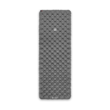
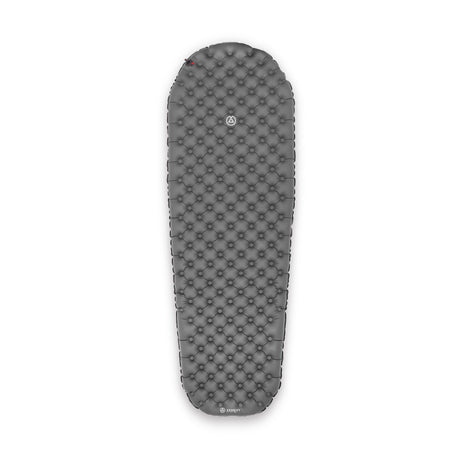
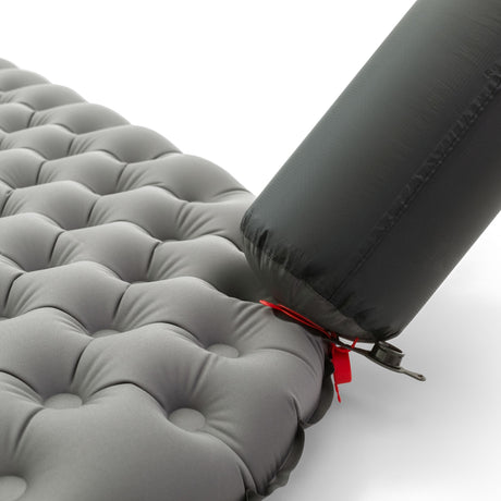
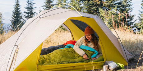
On the North Shore of Minnesota, the weather can be unpredictable, and so can the bugs. After 90-degree days and swarms of mosquitoes in the Boundary Waters, the big lake had a pleasant surprise waiting for us. We encountered cool 60-degree days, 40–50-degree nights, and minimal bugs for the majority of the trip. Those cool nights made crawling into my Zenbivy one of the best parts of the day. After hiking 15–20 miles, a good night's sleep became just as important as food and water.

For the first ten days or so, it rained a little almost every day. After our longest day on the trail, 22 miles through some of the hardest sections, with rain for most of the day, we planned to reward ourselves with one of our "slow days." We slept in until 10:30, by far the latest we'd slept on the trip, and maybe even in years. We finally left camp around 12:30, but after hiking a few miles, we decided to push it to 17 miles to get ahead for the next day.
It rained all day again, and we pulled into Springdale Creek Campsite late that night. Still pouring, we set up camp and ate dinner in the rain. Soaking wet as we crawled into the tent, our morale was low. To make matters worse, I woke up the next morning to remove the Leukotape and bandages covering my blisters. I had been too wet and exhausted to take them off the night before, and when I peeled the tape away, my feet were white, waterlogged, and a chunk of skin came off with it. I had the early stages of trench foot, something you usually only hear about in World War II documentaries or from long-distance hikers. I took extra care of my feet over the next few days, and thanks to a lucky stretch of dry weather, they recovered well enough to carry me through the rest of the trail, or at least as well as feet can after 300-plus miles.
At the start of the hike, reaching the southern terminus over 300 miles away felt like a daunting task. Even after a 20-mile day, it felt like we had barely made a dent in the distance ahead. But day after day, mile after mile, the miles slowly disappeared. Once we reached Duluth, we could feel the finish getting close. Turning the corner and seeing the Southern Terminus sign made it all feel real.
It was an incredible feeling to think that just over four weeks earlier, we had pushed off from Crane Lake. Since then, we had traveled more than 500 miles under our own power by paddle and by foot, reaching the Wisconsin border south of Lake Superior. It was a bittersweet moment because life on the trail had become such a simple one. We have a few days rest until the next adventure begins, the 3rd and final leg of the Trans Superior Traverse: bikepacking around the Big Lake they call Gitchi Gummi, Lake Superior.