The Continental Divide Trail is a strange beast. Unlike the other two long trails (the Appalachian Trail and the Pacific Crest Trail), the CDT is still technically unfinished. There is a LOT of the trail that is on some sort of road (mostly dirt) and although many sections are beautiful, even epic, there are quite a few spots that are, well, somewhat miserable. Because of these factors, the CDT is more of a choose-your-own-adventure trail, with dozens of alternate routes and hundreds of options along the way.
The Continental Divide Trail Coalition recognizes a thru-hike of the CDT as completion of "a journey between the Mexican and Canadian Border along the Continental Divide. Issues of sequence, direction, speed, length of time or alternate routes are not considered." This means that as long as hikers stay relatively close to the divide, they can take any number of routes, hopping on and off the official "red line" as frequently or infrequently as they want. This also means that most thru-hikes are highly varied and it is likely that no two hikes are the same.

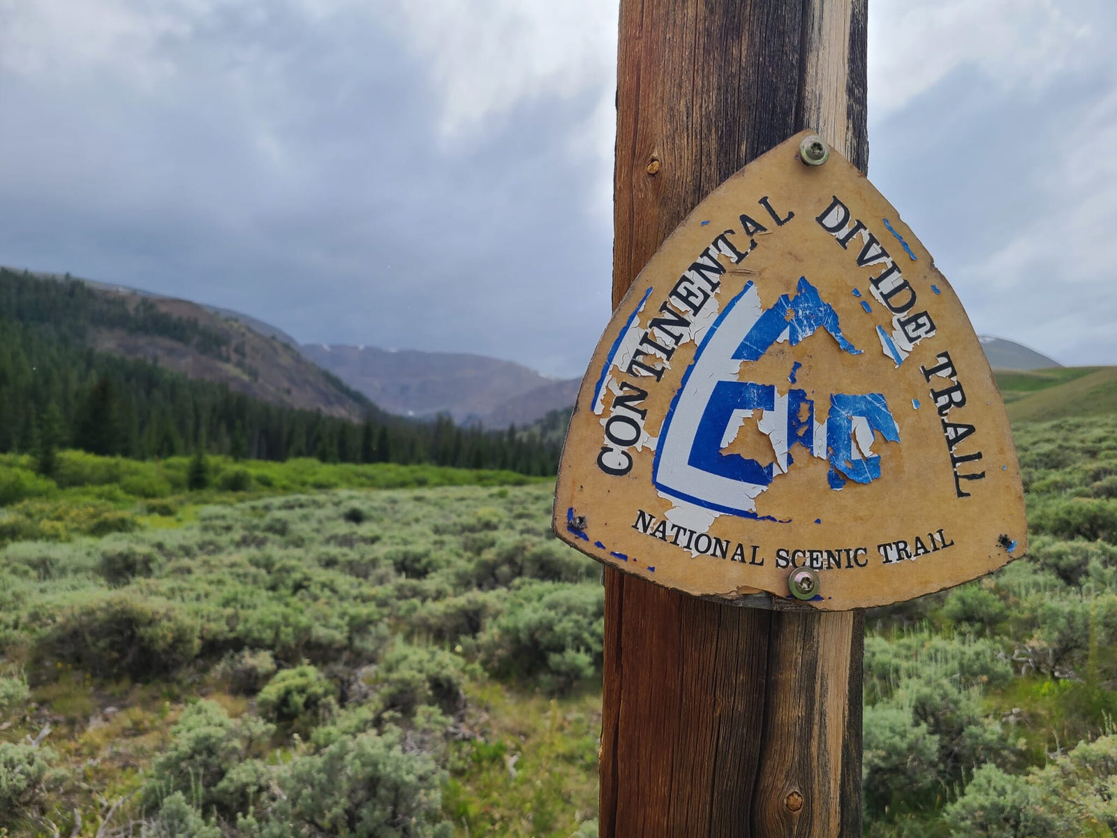
An alternate in FarOut- a fork in the trail!
There are definitely some alternates that nearly every hiker does and some that are rarely taken. Some are in FarOut (an app most hikers use for mapping and real-time information), some are unmarked bushwhacks. There are maps out there that have the official route plus a plethora of alternate options, and things like dirt roads and snowmobile routes add to the web of possibilities.

So many options!!
When I first embarked on the CDT, I was highly intimidated by all of these options. How do I know what the options are? What if I get lost? What if I make a bad choice and (insert negative outcome here)? I researched all of the alternates marked in Farout before I left for the trail, determining whether or not I should do them before hiking anything at all. Some alternates take you to more interesting or scenic spots, like the Cirque of the Towers alternate in the Wind River Range in Wyoming. Some alternates give you different or better or more convenient resupply options, like the Brooks Lake alternate, also in Wyoming. Some alternates cut off miles like the Anaconda Cutoff in Montana, but may also have drawbacks (miles of walking on a highway!).

Cirque of the Towers Alternate, I wouldn't have seen this if I stuck to the "red line"
Now I know what feels good for me and what doesn't when it comes to alternates. I have gotten much more familiar with my various mapping apps and even with my phone's compass function. I no longer get anxious when I open my map and my little blue dot isn't on the trail (although I do sometimes still get frustrated), and my ability to bushwhack along a contour has greatly improved, despite my lingering dislike of bushwhacking. I love that this trail allows me to set my own path, for better or worse, and that my trail family and I could all take different routes and then come back together with stories to share. Choose your own adventure out there- it's all about the journey!
- Scribe